Mobile multi-wavelenght Raman lidar
The mobile multi-wavelength Raman lidar system has been designed to provide multi-wavelength elastic (1064, 532 and 355 nm), Raman (607 and 387 nm) and depolarization (1064, 532 and 355 nm) measurements for the retrieval of optical and microphysical properties of the atmospheric particles. The system was installed in 2021 and is in the optimization phase.
The system is in coaxial configuration (but can also operate in biaxial configuration) and is based on two Nd:YAG laser sources operating at 10 Hz: one emitting radiation at 532 and 355 nm, the other emitting radiation only at 1064 nm, to avoid polarization purity loss due to the SHG and THG crystals.
One Cassegrain telescope, with diameter of 300mm, collects the backscattered radiation from the atmosphere to cover an altitude range from 200m (minimum full overlap altitude) up to at least 20km.
Optical channels are available at 1064, 532, 355 nm (parallel and perpendicular polarization components for the three wavelengths), 607 and 387 nm for a total 8 channels.
CCD cameras for UV and IR are mounted to monitor the alignment of laser beams sent into the atmosphere. The polarization calibrators are based on the ± 45° technique and are operated in manual mode.
Detection is performed by means of APD at 1064 and by photomultipliers for all the other wavelengths. Acquisition is performed in analog mode at 1064 nm and in simultaneous analog and photoncounting modes for the other wavelengths. The vertical resolution of the raw profiles is 3.75m. In the analog mode, the standard deviations of the signals are also acquired up to 10km, for the error calculation. Laser radiation measurements through photodiodes are also acquired in order to monitor the laser energy stability.
The system is motorized for laser beams alignment, telecover test, dark current measurements. Moreover, it is completely automatized, allowing to perform in a programmed way measurements and tests. It can be operated and controlled remotely and is able to run measurements and tests in an unmanned and programmed way.
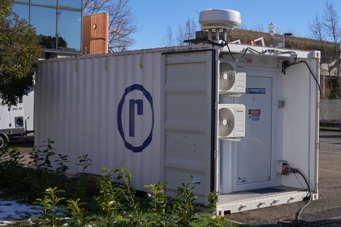
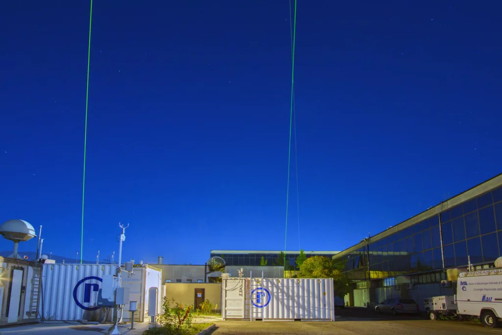
The system is compact and hosted in a small container, with RH and T internal monitoring and setting. It is also equipped with meteo station and with a radar to check the presence of aircrafts close to airports.
The lidar system is one of the instrument of the Potenza ACTRIS national facility and is also one of the instruments of the ACTRIS Central Facility CARS (Centre for Aerosol Remote Sensing). It can be used in field campaign and is used in intercomparison campaigns planned in CARS activities.
Contact person:
Aldo Amodeo


